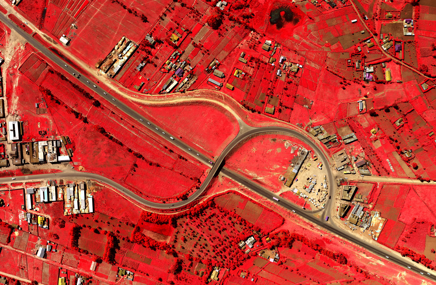
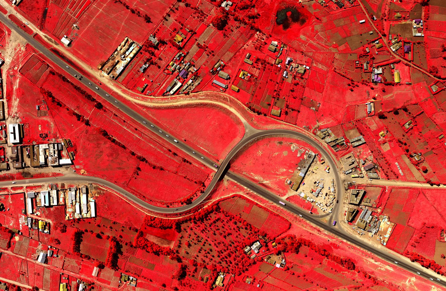
High resolution satellite images have many applications in mining, oil & gas, defence and intelligence, meteorology, oceanography, fishing, agriculture, biodiversity conservation, forestry, landscape, geology, cartography, regional planning, education, intelligence and warfare.
Images can be in visible colours and in other spectra. There are also elevation maps, usually made by radar images. Interpretation and analysis of satellite imagery is conducted using specialized remote sensing applications.
2017 © Ramani Geosystems. ALL Rights Reserved. Privacy Policy | Terms of Service


