 Ramani Land services has over the years provided exceptional geospatial solutions services meeting all clients’ needs to world class standards. We deliver an extensive scope of solutions ranging from the conventional land surveys, topographic surveys, geodetic surveys, cadastral services, and terrestrial LiDAR surveys.
The company is made up of surveyors and survey assistants supported by a central administration team all who work effortlessly to give our clients incomparable service.
African terrain is not new to Ramani. We have successfully undertaken numerous land mark projects within Africa in vast environments that include the flat barren plains, the highland craggy landscape, the savanna, and the semi-arid region.
About Ramani
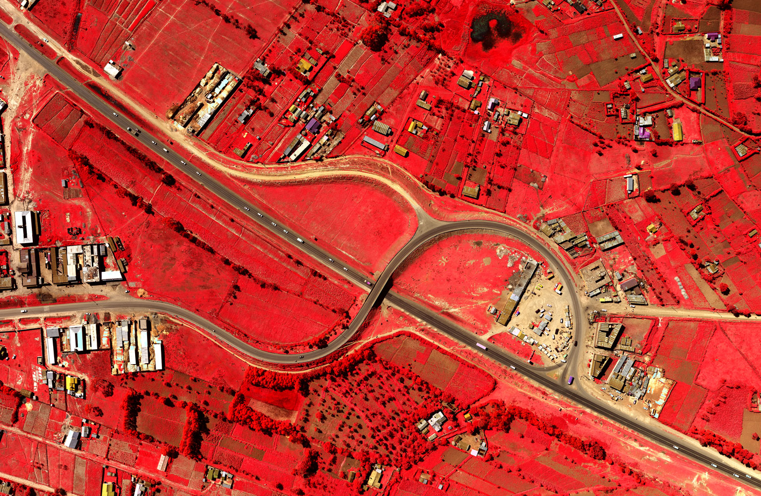
Putting Africa on the Map with professional land surveying, aerial photography, aerial LiDAR, online spatial data and GIS and mapping services.

Contact Us
P.O. Box 15353 - 00509, Nairobi, Kenya.
Wilken House, Wilson Airport, Langata Road
Mobile: +254 (0)722 200 616
Email: info@ramani.co.ke
Uganda Office
P.O. Box 21759, Kampala, Uganda.
Plot 30 Kanjokya Street
Mobile: +256 773 261 995
Email: info@ramani.co.ug
Stay Connected
2017 © Ramani Geosystems. ALL Rights Reserved. Privacy Policy | Terms of Service