 Ramani, a Swahili word for "map", was founded in 1999 in Kenya by Daniel Haywood with a view to create a Geospatial company that offers world class solutions and technologies to East Africa. Ramani has grown from the early years of mapping commercial farms using a motorbike to be the leading airborne survey company in Eastern Africa.
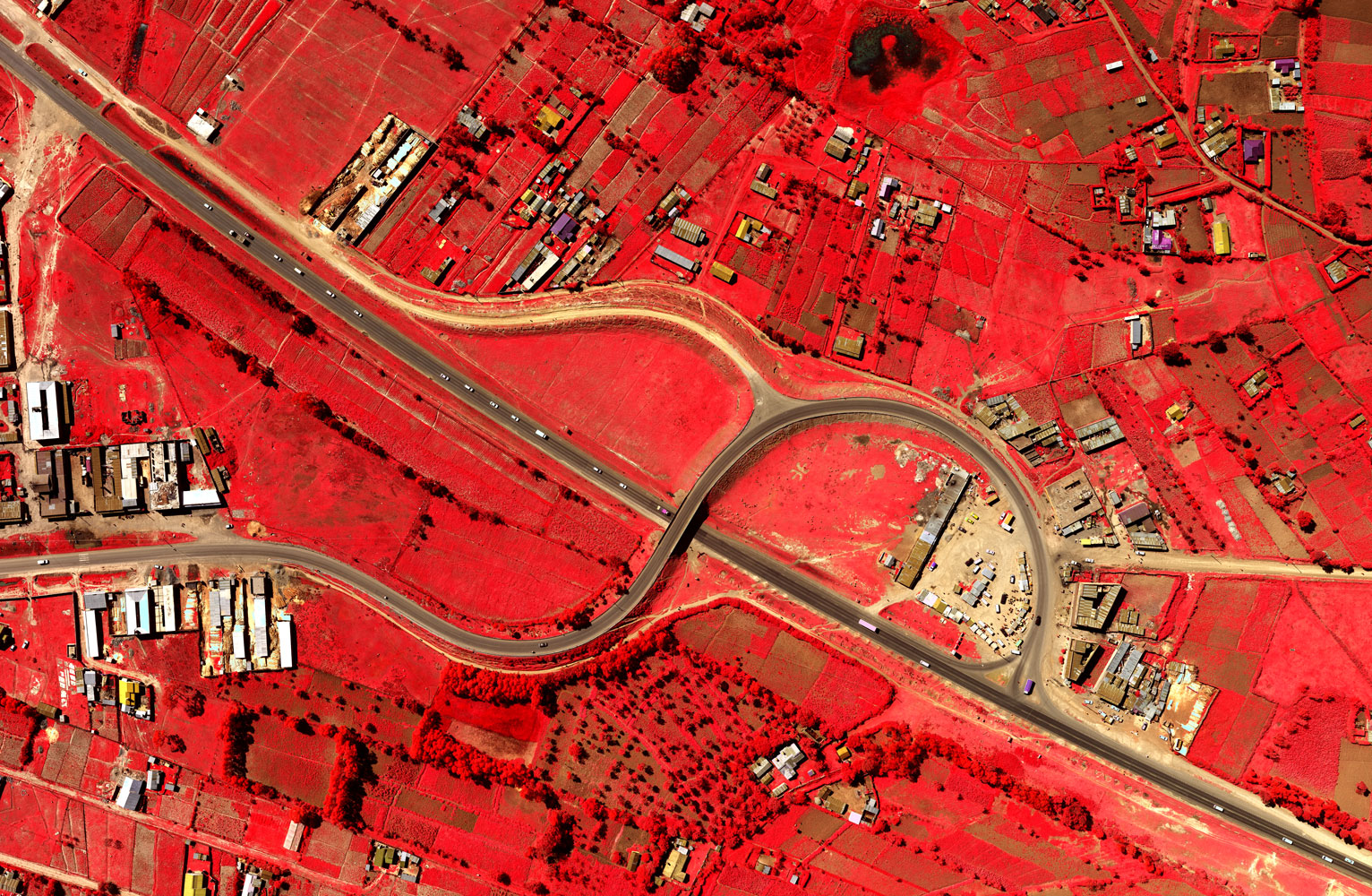
Today Ramani Geosystems has a focus on providing airborne & spaceborne geospatial solutions across East Africa, being the only company based in East Africa operating two survey aircraft, both fitted with a large format digital camera and aerial LiDAR/medium format sensor.
The company has data management and production teams comprising of over 80 professionals with 24-7 processing centre based in Nairobi delivering projects all over East Africa.
About Ramani
Putting Africa on the Map with professional land surveying, aerial photography, aerial LiDAR, online spatial data and GIS and mapping services.

Contact Us
P.O. Box 15353 - 00509, Nairobi, Kenya.
Wilken House, Wilson Airport, Langata Road
Mobile: +254 (0)722 200 616
Email: info@ramani.co.ke
Uganda Office
P.O. Box 21759, Kampala, Uganda.
Plot 30 Kanjokya Street
Mobile: +256 773 261 995
Email: info@ramani.co.ug
Stay Connected
2017 © Ramani Geosystems. ALL Rights Reserved. Privacy Policy | Terms of Service