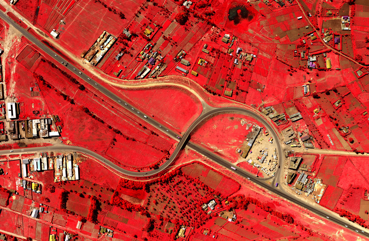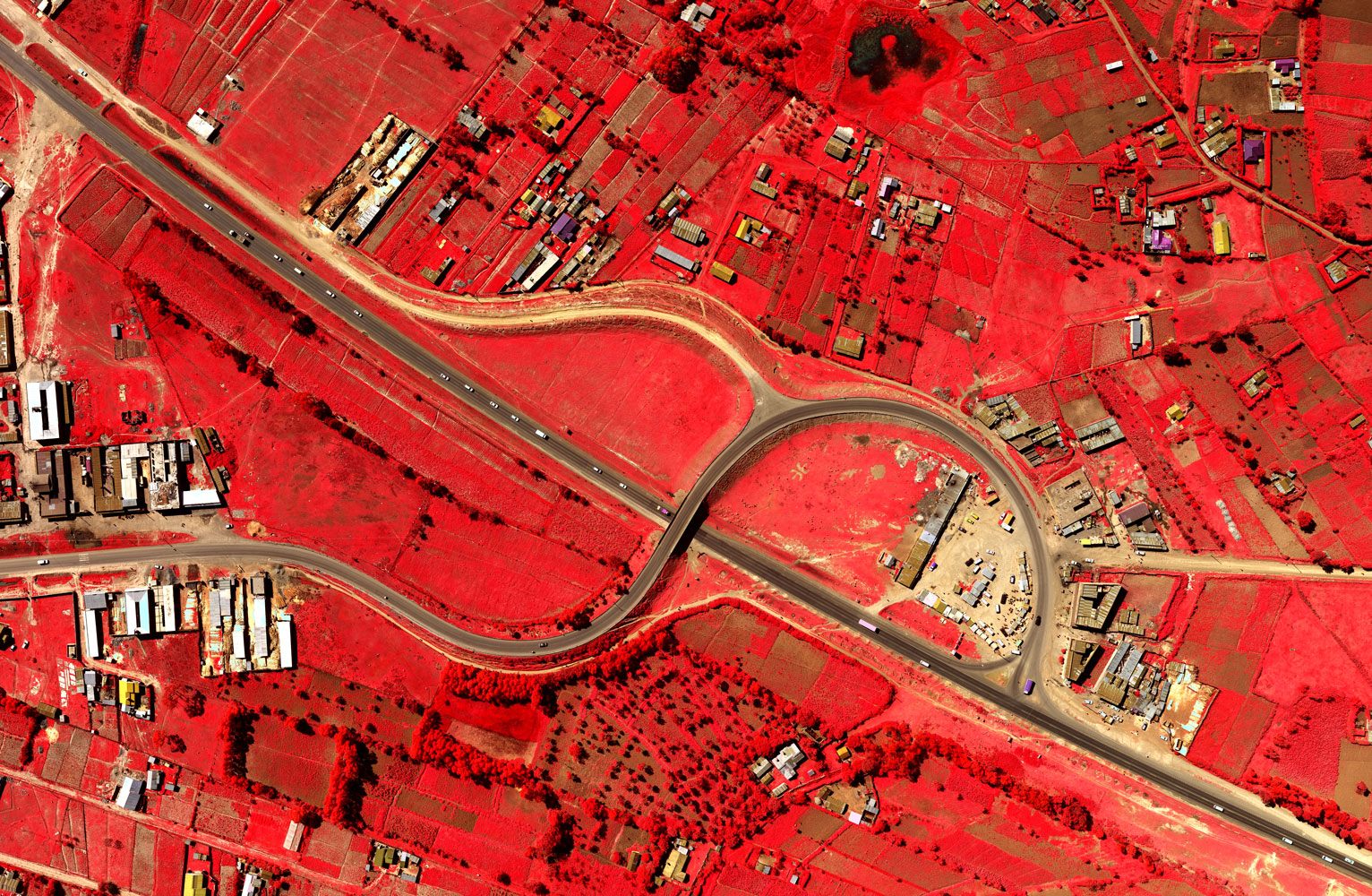
Ramani Geospatial is a round-the-clock team that provides mapping services for clients looking to collect and manage earth related data. From the initial data capture & acquisition, processing, analysis, and to the final output, this department is able to provide comprehensive GIS & mapping solution fully tailored for customers' need.
At Ramani, we apply our experiences to define, design and deliver outstanding solutions and work with clients to develop customized solutions.
2017 © Ramani Geosystems. ALL Rights Reserved. Privacy Policy | Terms of Service


